Art
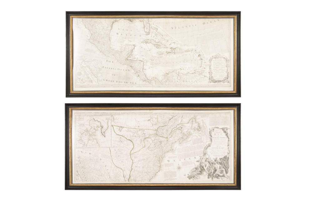
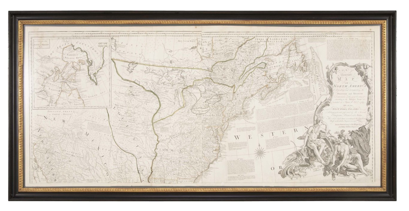
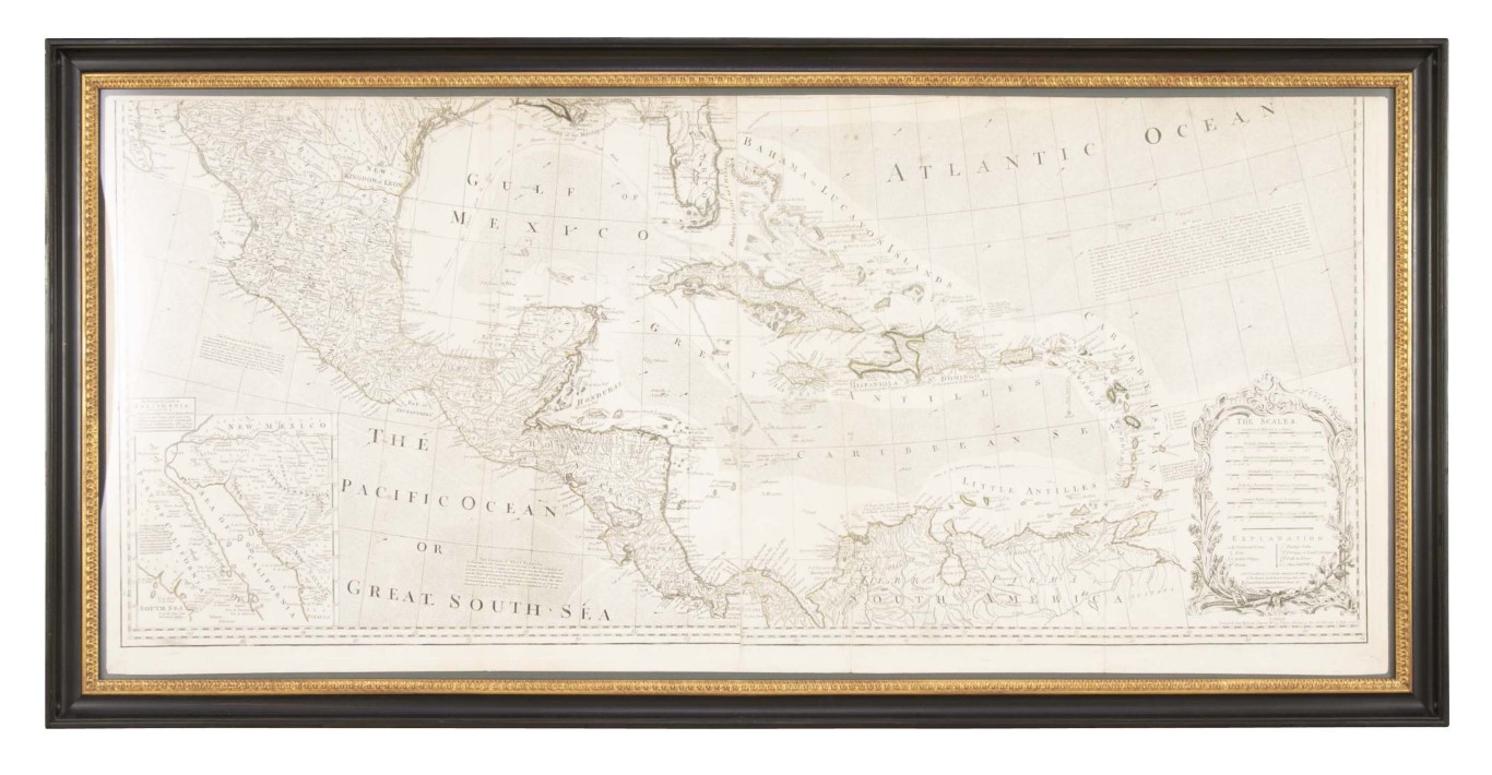
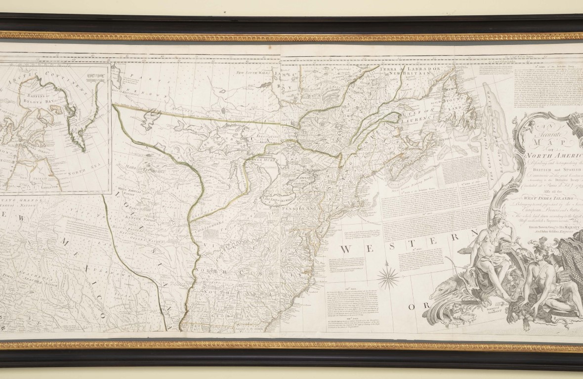
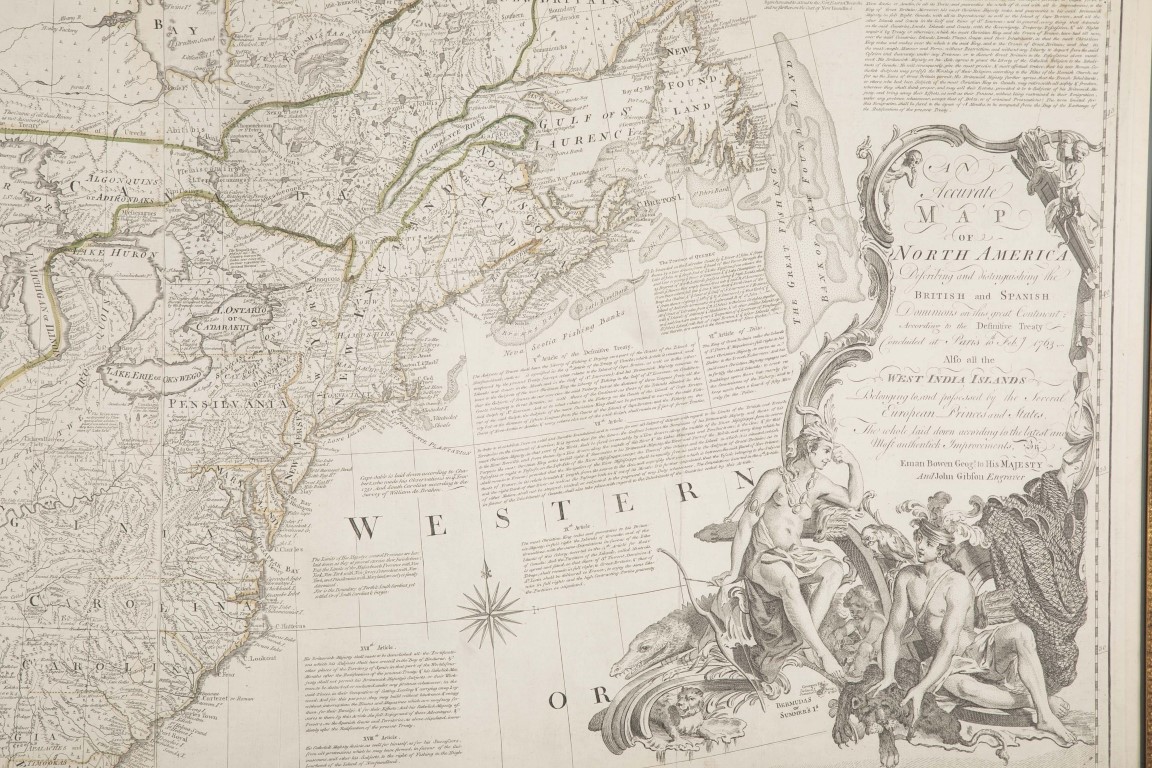
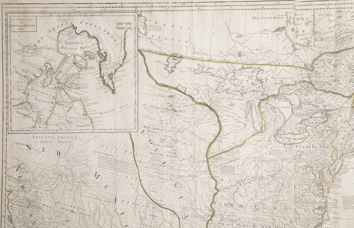
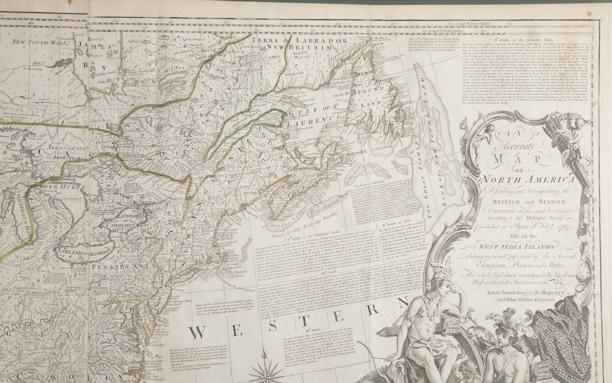
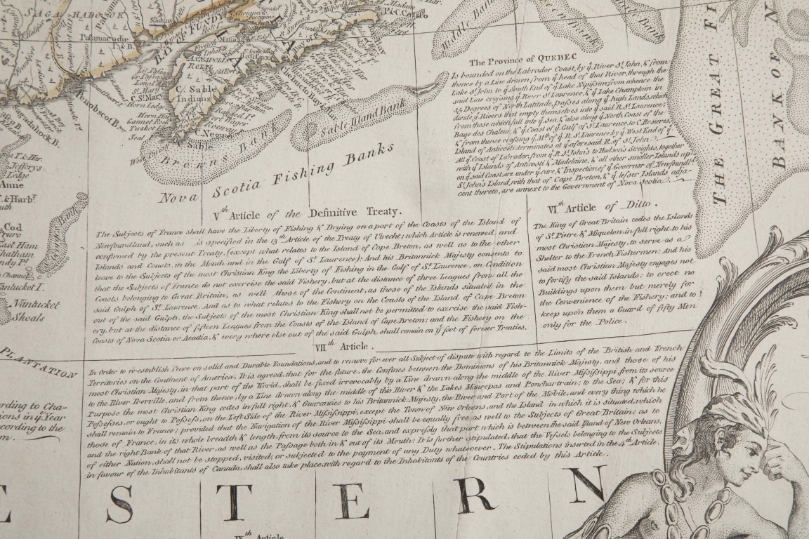
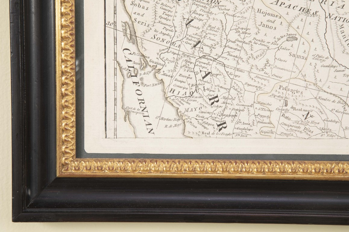
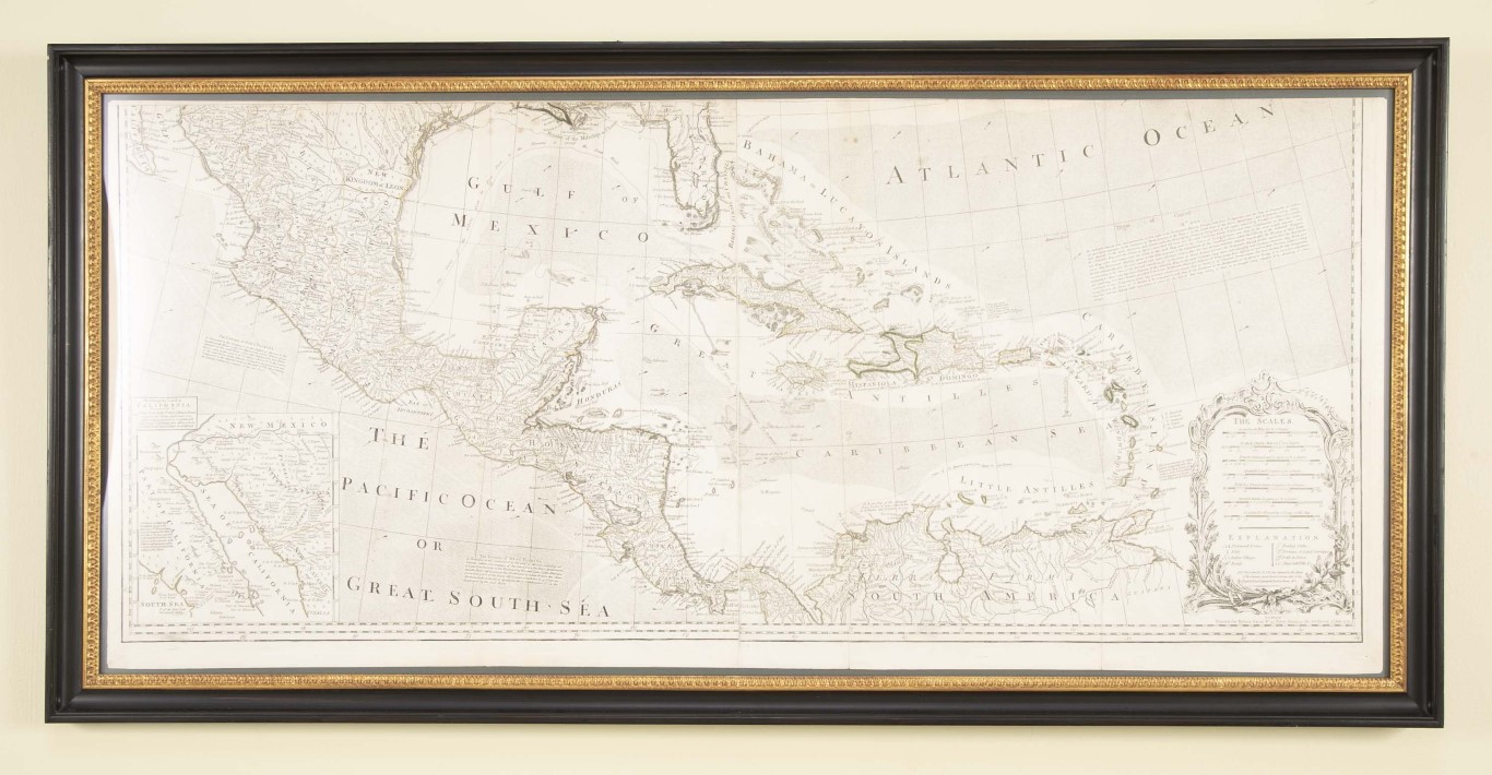
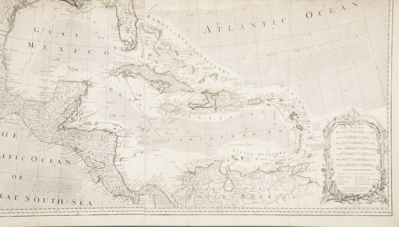
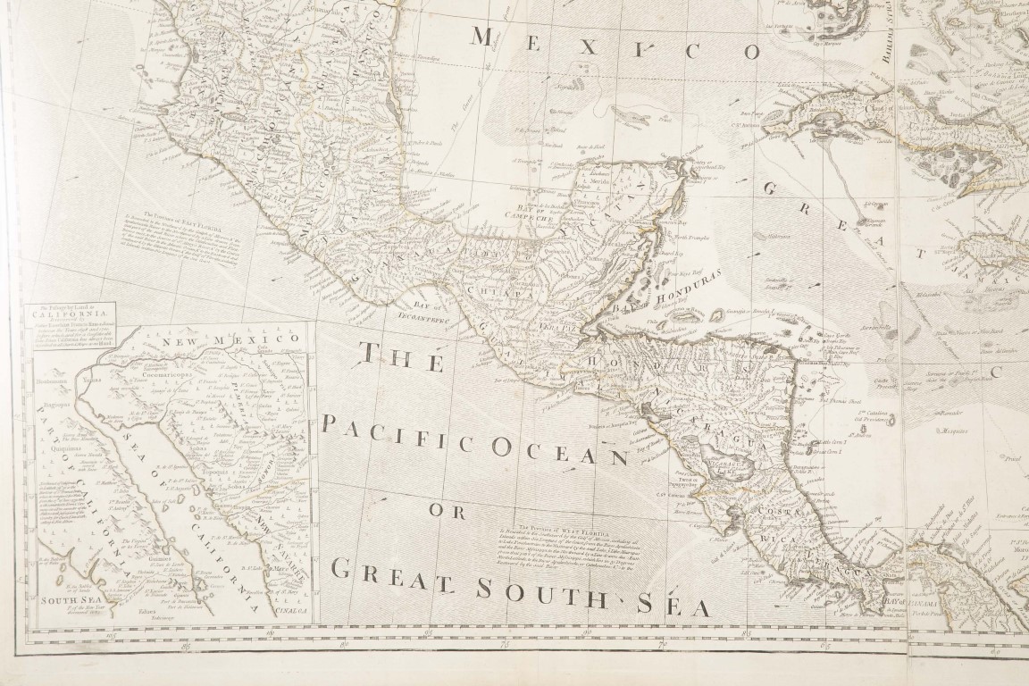
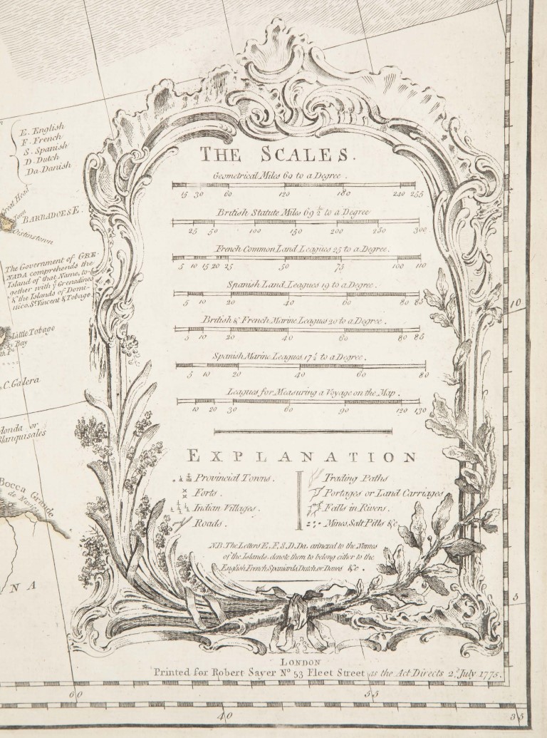
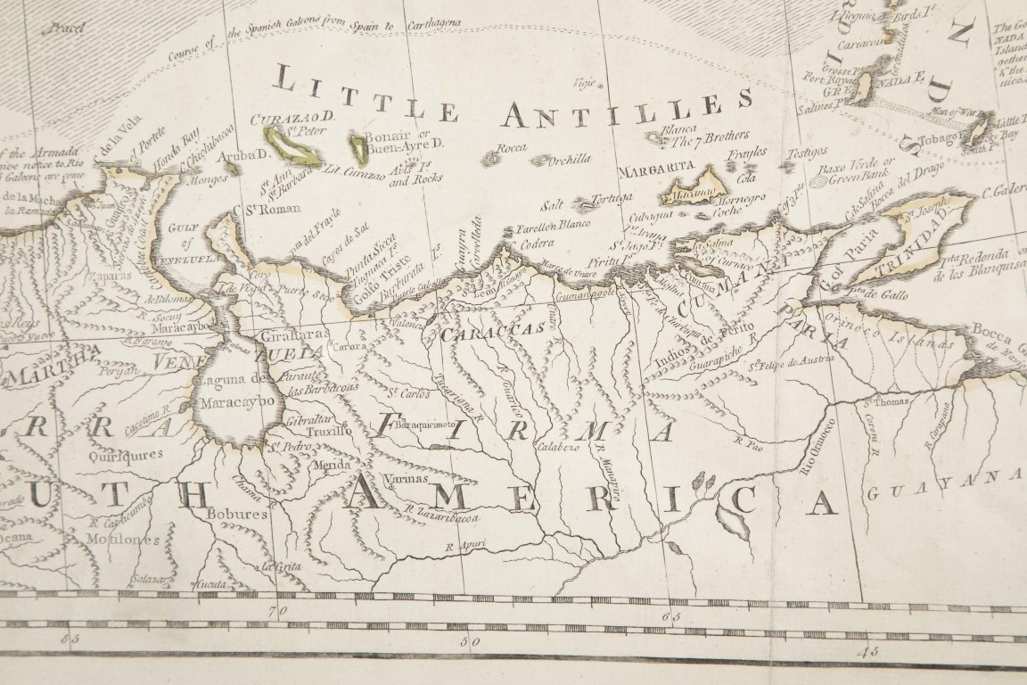
Pair of 18th Century maps by Emanuel Bowen ( 1694 ? – 1767 ) a printer, publisher and map engraver in London during the mid-eighteenth century. He produced some of the finest and most attractive maps of the century.
1 / The Gulf of Mexico, including the Atlantic & Pacific Oceans and the Caribbean printed for Robert Sayer, No. 53 Fleet Street, as the Act Directs, 2 July, 1775.
2 / North America describing the British & Spanish dominions according to the Treaty of Paris, February 1763 by Emanuel Bowen. John Gibson engraver.
Dimensions: 21″ h x 46″ w x 1″ d
Most Recent
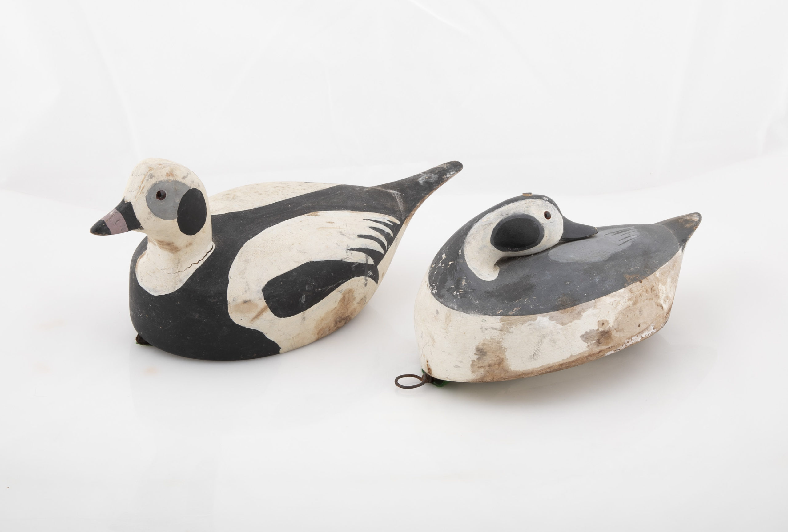
Pair of Long-Tailed Duck Decoys
Pair of carved wood Long-tailed duck decoys with glass eyes, c. 1950. Hen is in preening position; drake is in swimming position and is branded “SS” on bottom. The Long-tailed duck , formerly known as the Old Squaw duck, is a small, delicately shaped bird that breeds in summer in arctic regions and winters off northern coasts. Its size and shape belie its toughness, as it can dive to depths of 200 feet and spends huge amount of its time under water. These ducks gather in large flocks and make an almost constant chatter.
Dimensions: 10" h x 13" w x 5.5" d
Price: $950

