Art, Marine
This original 1844 Blunt chart of the North Atlantic Ocean is a very interesting piece of marine history, as it has the celestial and other navigational markings pricked on it for several voyages of the Bark “Petrea” in 1852 and 1853, including 2 voyages from Boston to San Francisco, with doodlings of ships by the captain or navigator who did the course markings.
Dimensions: 53″ w x 41 1/2″ h
Most Recent
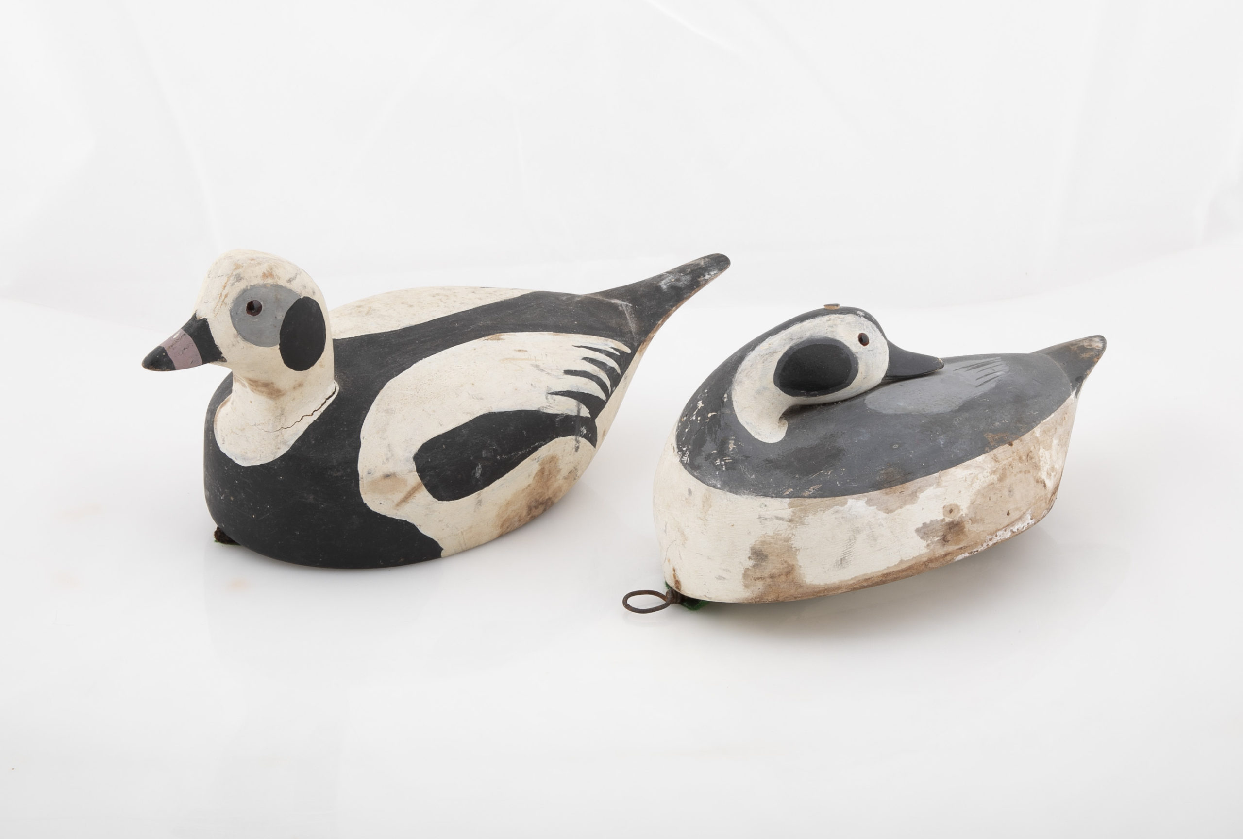
Pair of Long-Tailed Duck Decoys
Pair of carved wood Long-tailed duck decoys with glass eyes, c. 1950. Hen is in preening position; drake is in swimming position and is branded “SS” on bottom. The Long-tailed duck , formerly known as the Old Squaw duck, is a small, delicately shaped bird that breeds in summer in arctic regions and winters off northern coasts. Its size and shape belie its toughness, as it can dive to depths of 200 feet and spends huge amount of its time under water. These ducks gather in large flocks and make an almost constant chatter.
Dimensions: 10" h x 13" w x 5.5" d
Price: $950